
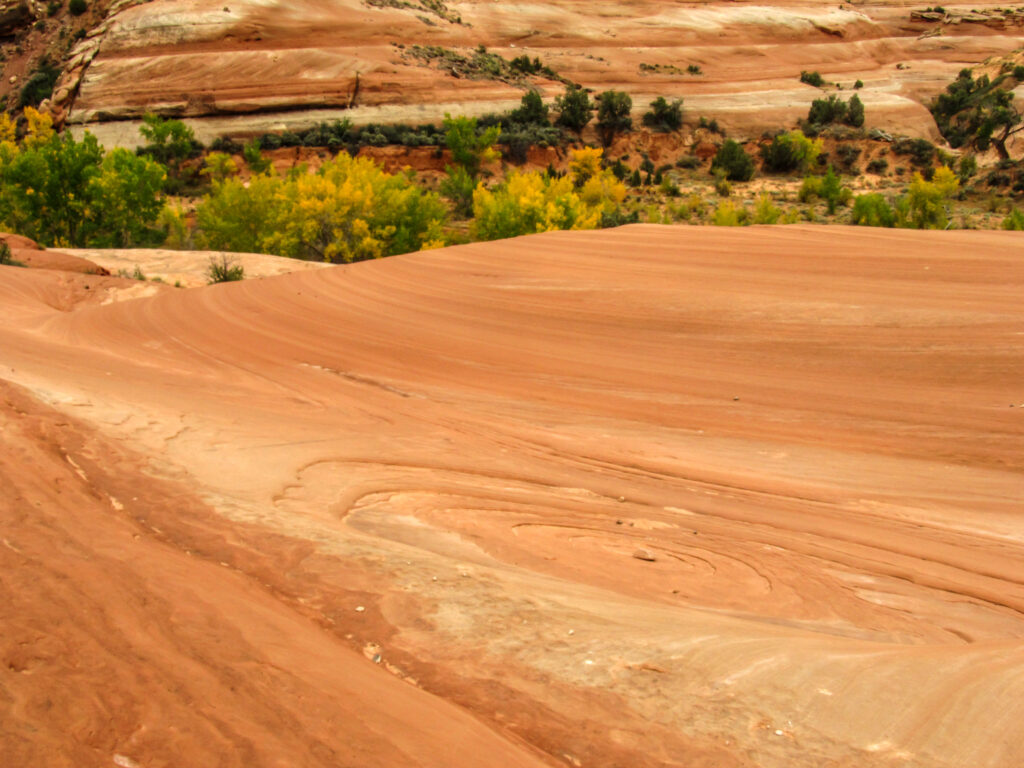
Natural crossbedding patterns appear in slickrock Entrada sandstone near Moab, Utah. (Photo by Marieke Peche via Getty Images)
In the coal-fueled power plant conversation, there’s a technology that has been front and center; carbon capture and storage — a process that captures carbon dioxide from the air and stores it in underground geologic formations.
The system, now suggested by the Environmental Protection Agency to restrict greenhouse emissions from some coal and new natural gas energy facilities, hasn’t been fully developed on a utility scale, but more research is on its way in Utah.
Though the state is challenging the new EPA regulations, the Utah Geological Survey is simultaneously taking an initial step to determine where carbon storage facilities or a regional hub to store those emissions may be located, conducting an assessment to study the state’s potential to store industrial carbon dioxide emissions underground.
“We envision that this web application will be a really good technical resource and a source of reliable data for people that might be interested in (carbon capture, utilization and storage), maybe creating storage facilities or a regional hub in Utah,” said Gabi St. Pierre, a geologist with the Utah Geological Survey.
GET THE MORNING HEADLINES DELIVERED TO YOUR INBOX
The research, which is expected to take two years, could help determine which rock formations anywhere in the state, including those near coal plants, could store those carbon dioxide emissions. Or, whether the greenhouse emissions would have to be transported to be stored in another area.
Though that investigation is still ongoing, some rock formations in the Uinta Basin, which have previously been studied for carbon storage, already look promising to help keep the gas underground.
Utah joins lawsuit against EPA rule to control emissions from coal plants
Researchers are breaking up the state into different geological regions, studying their rock cores and cuttings data from the Utah Core Research Center and well logs from the Division of Oil, Gas and Mining database, St. Pierre said. The team will also analyze the underground rocks’ porosity and permeability.
With Uinta Basin’s long oil and gas history, many wells have been drilled, so there’s a lot of data of its subsurface, St. Pierre said. But, in the Great Basin and Range areas, in western Utah, there’s a lot less information.
The state is also planning on identifying key reservoirs and seals to keep carbon dioxide trapped underground, St. Pierre added.
Though this is the first time the Geological Survey is doing a statewide evaluation — a project funded by $1.1 million from the Department of Energy — the entity has been studying carbon capture, utilization and storage systems for two decades.
“We might need more funding to get more data so we can understand the subsurface better, but I think with the grant that we have, we can get a really good idea,” St. Pierre said.
The hope is to create an interactive web application with all of the locations that might be good for carbon storage in the state, St. Pierre said. The final product is expected to map reservoir-seal pairs with relative geologic risks assigned to determine the most favorable areas for the technology, according to a May news release from the Utah Geological Survey.
Researchers are already interested in sandstone as potential geologic storages. They have identified some promising potential reservoirs with the help of the Uinta Basin CarbonSAFE Phase II project, from the University of Utah’s Energy and Geoscience Institute, which is exploring the feasibility of a commercial scale carbon storage complex in the northeast Uinta Basin.
Installing carbon capture in Utah would be tough. But is that debate missing the point?
That project is aiming to sequester at least 50 million metric tons of carbon dioxide from Deseret Power’s Bonanza Power Plant and other sources in 30 years, according to the project’s website.
The areas in the Uinta Basin that have been identified as potential reservoirs include the Jurassic Entrada formation, and the Dakota and Frontier formations, which are made up of sandstones from the Cretaceous period.
“Our goal is to be able to drill a stratigraphic exploration well so we can actually drill down into the subsurface and take samples from that Entrada sandstone and the Dakota sandstone,” St. Pierre said. “And then we can do some of our geologic analysis and look at porosity and permeability and get an idea if we think that we could put some underground there.”
Though it’s hard to tell how long it would take for carbon capture, utilization and storage systems to be ready to take off at a utility scale, there’s a lot of research dedicated to the technology that could advance it in the next decade, St. Pierre said.
“I think we’re learning a lot right now, especially with all of the tax incentives from the federal government, I think it’s really pushing this technology along,” she added.
SUPPORT NEWS YOU TRUST.
The post Which rocks are best to store carbon from coal plants? Utah is mapping their potential appeared first on Utah News Dispatch.