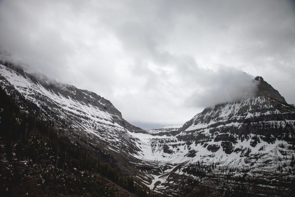
These are the conditions around Logan Pass on May 30th, 2024. Deep snows and fresh flakes dominate the mountain views even as summer approaches on May 31, 2024. (Photo courtesy of the National Park Service)
Expect mountain passes with especially high elevations above 6,000 feet, like Homestake Pass outside Butte, to have snowy conditions on Tuesday morning, according to the National Weather Service.
“It’s looking more likely for people to literally be driving through snow,” said meteorologist with the National Weather Service Jeff Kitsmiller on Friday. “That could catch a lot of people off guard this time of year.”
Western Montana is expected to see widespread precipitation and a winter storm watch in higher elevations at the start of next week, he said. Monday going into Tuesday, elevations around 6,000 feet and above are expected to see snow, and Kitsmiller said those planning to recreate in the backcountry should be prepared for winter conditions or consider changing plans altogether.
Snow in June is always a possibility in Montana, but could be unusual if it gets down to lower elevations. Floods shouldn’t be a concern, as Kitsmiller said the rivers largely have enough room for the precipitation.
The valleys could get snow; Kitsmiller said conditions could mirror the few inches of snow the state saw in May.
“You can’t rule it out,” said Kitsmiller, of NWS Missoula.
Kitsmiller said the May snow saw lots of broken tree branches because the trees had started to get leaves in, and this event could be worse as the trees largely all have their leaves now.
“Definitely one of our concerns would be tree damage and power outages,” he said.
Montanans know snow can come any month of the year, but Kitsmiller said snow this late into June typically stays up in the higher elevations. He said this system may bring snow levels lower than normal for mid-June in Montana, meaning it could be more of a five-year or 10-year type of event.
Getting lots of rain and snow would also help stave off the fire season, he said, helping the state not to dry out too quickly.
“Getting a nice big, widespread rain event is very beneficial,” he said.
A U.S. Department of Agriculture water supply outlook report published in early June found recent weather helped improve water supply overall, but parts of the state remain below normal, with the Kootenai, lower Clark Fork, Jefferson, and Upper Madison river basins experiencing below-normal precipitation last month.
He said people who plan to recreate in higher elevations should prepare for things like fallen trees that may block roads and warned that snow might prevent people from being able to get back down.
People that are backpacking would need to prepare for winter and bring lots of layers and be able to get their bodies warm to avoid hypothermia.
“Really the best thing is to push off plans and not really go out if people can,” he said.
The post National Weather Service: Winter storm watch for high elevations early next week appeared first on Daily Montanan.

