
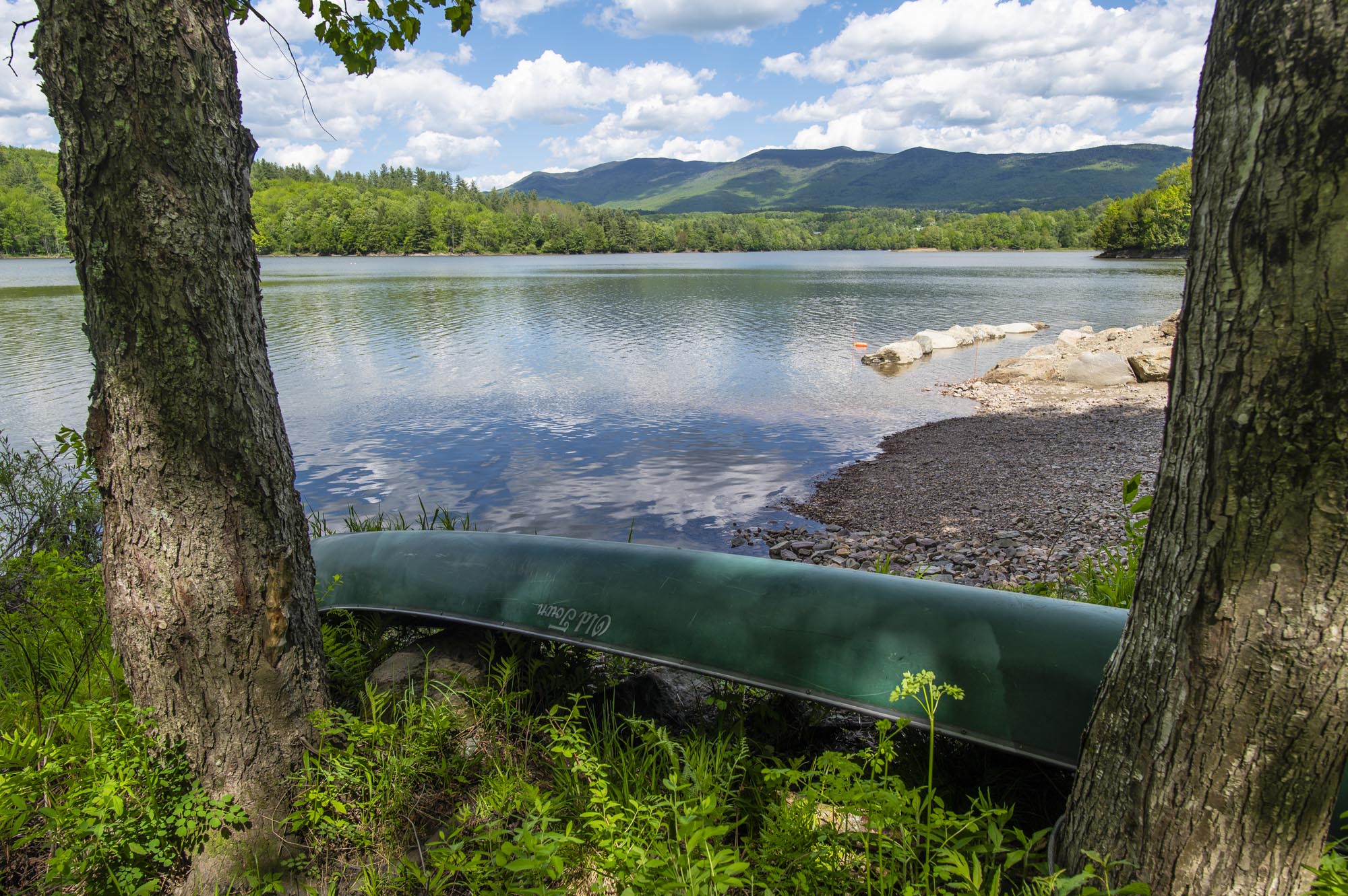
Waterbury Reservoir with the Worcester Range in the rear on June 7, 2019. File photo by Glenn Russell/VTDigger
The Agency of Natural Resources has finalized a new plan for managing the Worcester Range, 18,772 acres of state-owned land in central Vermont that includes beloved landmarks such as Elmore State Park, Mount Hunger, Perry Hill trails and Stowe Pinnacle.
More than 1,350 comments on the plan from members of the public highlight the increased interest and tension that has surfaced in recent years around the management of Vermont’s forests, particularly related to timber harvesting.
The 394-page document outlines the state’s intention to support a number of different purposes for the land in the next 20 years. That includes expanding recreation and hunting opportunities, enhancing wildlife habitat, preserving and expanding carbon storage and sequestration processes, and buffering lands from flooding and harvesting timber.
The management blueprint has elicited a spectrum of reactions from advocates, experts and members of the public who participated in the planning process. While people who advocate for preserving more forests say there’s too much logging planned for the land, timber harvesters wanted to see more of it designated for logging.
The plan sets aside 9,961 acres, or 54% of the management unit’s total area, to allow “natural processes to shape the landscape.”
But state officials have also designated 1,928 acres of the area, about 10.3%, for potential logging operations over the next two decades, a piece of the plan that has become a focal point of debate.
Tony D’Amato, director of the forestry program at the University of Vermont’s Rubenstein School of Environment and Natural Resources, argues that both forms of management “are needed.”
He thinks about how to “balance all these different goals and values” related to forests, “from carbon to biodiversity to resilience.”
Doing that on public land, with a lot of oversight, he said, is a “great opportunity, even though I know it certainly gives individuals pause, like, ‘wow, we’re going to cut state land?’”
A wildlife highway
The Worcester Range is one of Vermont’s largest contiguous habitat blocks, according to the Agency of Natural Resources, spanning the towns of Elmore, Worcester, Middlesex, Waterbury and Stowe.
The mountains act as a bridge between the northern Green Mountains and the Northeast Kingdom, and it’s an important piece in a broader landscape that allows wildlife to migrate “between the Adirondacks and western Massachusetts all the way north and east to Maine, New Brunswick, and the Gaspé Peninsula,” the plan states.
The landscape’s various elevations allow for “relatively unhindered movement of species,” the document states, which “facilitates climate resilience by allowing species to move and adjust ranges in response to climate change.”
READ MORE
The Worcester Range sits adjacent to thousands of acres of land that have been conserved through easements, including the privately-owned Worcester Woods and the Woodbury Mountain Wilderness Preserve, which are both more than 6,000 acres.
State officials haven’t updated the area’s management plan since the late ‘80s, according to Brad Greenough, a forester with Vermont’s Department of Forests, Parks & Recreation who worked on the Worcester plan. Despite that, in recent years some timber harvesting has taken place there, he said.
From 1980 until 2013, loggers completed a total of 15 timber harvests covering 720 acres, along with a seven-acre harvest that took place in 1961, the plan states.
The proposed increase in logging activity is possible, in part, because the state of Vermont acquired land that was previously private. The new state property has opened up both that land for harvesting and land the state already owned, but was inaccessible because of the surrounding private land, according to the management plan.
Broadly, Greenough thinks the changes outlined in the plan won’t be noticeable to many members of the public. He noted the state has a new focus on managing forests so they adapt better to increasingly extreme weather and soak up more carbon dioxide from the atmosphere, helping to mitigate climate change.
A tricky balance
Environmentalists, foresters and scientists often debate whether forests can benefit from sustainable timber harvesting practices. Some practices have specifically been developed to increase the rate at which the forest soaks up carbon from the atmosphere and to create more diversity in different parts of the forest.
Many of Vermont’s forests were harvested in the 1800s, when European settlers cleared the land for agriculture. Scientists consider less than 0.1% of land in New England and New York to be occupied by old growth forests.
With such a wide area of land cut at around the same time, the current goal of sustainable harvesting practices is to “diversify the forest conditions, and in many cases, restore some of that complexity to forests that historically would have been there under the influence of natural disturbances,” D’Amato, with UVM, said.
D’Amato is partnering with the state and the Northern Institute of Applied Climate Science to conduct research on land within the Worcester Range. First, they’ll assess how climate change and other stressors, such as disease and invasive species, are threatening forests. Then, they’ll develop strategies to address those stressors and monitor the results.
For example, loggers might create canopy gaps to make space for new, younger trees that “might respond differently than a mature tree” to an event like a windstorm, D’Amato said. Creating space may also encourage different types of species to grow that could “have different responses to drought, or might be not susceptible to a given insect or disease,” he said.
D’Amato sees a need to strike a balance between actively managing the land and leaving it alone to let nature’s processes play out.
One of the “beauties of public land,” he said, is that the planning process allows officials to balance different priorities, “as opposed to maybe commercial timberland, where the primary objective that might might be focused more on economics, or maybe on a national park, where the primary emphasis might be preservation,” he said.
In this instance, D’Amato thinks the state got it right.
Others, including members of the advocacy group Standing Trees, argue that forests are healthiest when left alone, and that forests on state lands best serve taxpayers when they aren’t logged.
Zack Porter, executive director of Standing Trees, pointed to a map of the area included in the plan that shows private land nearby, much of which is included in the state’s Current Use program. The program gives landowners who own forests a cheaper property tax rate for leaving the land undeveloped, and unless they’re enrolled in a new, selective category of Current Use, most are required to conduct regular timber harvests.
“The vast majority of what we’re looking at here is managed for timber on a regular basis,” Porter said. “There is just no reason why we should be introducing roads, skid trails and logging into that landscape. It makes no sense. We are practicing forestry all the time in the landscape surrounding the Worcester Range.”
Read the story on VTDigger here: In new plan for Worcester Range, state attempts to balance logging and preservation .