
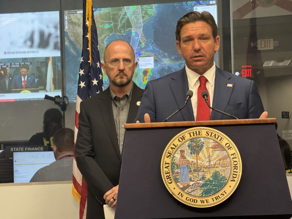
Gov. Ron DeSantis updates the media on Potential Tropical Cyclone Nine at the state Emergency Operations Center in Tallahassee on Sept. 24, 2024. Later that morning, the system became Tropical Storm Helene. (Photo by Jay Waagmeester/Florida Phoenix)
Hurricane Helene was upgraded to a Category 2 storm Thursday and is expected to increase its intensity as it approaches Florida and makes landfall near Tallahassee Thursday evening.
During a morning news conference in Tallahassee, Gov. Ron DeSantis stressed that Big Bend residents are running out of time to evacuate, if they choose to do so.
“If your local [emergency management] officials say that it’s too hazardous to go, and that you’re better off just hunkering down, heed that advice,” DeSantis said.
Evacuation orders are left up to local officials, some of whom have issued instructions to evacuate, according to the Division of Emergency Management website.
“If you are in the northern part of the state and you have access and you’re in an evacuation zone and you’ve been told to evacuate, you do have time to do it now, so do it,” DeSantis said. “But don’t wait another six hours, seven hours, and say, ‘Oh, man, this thing looks big,’ and think that you’re going to want to go out.”
Forecasters are warning of 20-foot storm surge in coastal areas, and forecasts still have time to change, DeSantis said.
“I think that these things can rapidly intensify. Sometimes they become major, sometimes there’s changes, so we’re just going to continue to do our thing and assume that this is going to be a major hurricane when it makes landfall,” DeSantis said.
Hurricane Helene reached a Category 2 classification on Thursday. (Graphic via National Hurricane Center)
Once the storm hits, officials urge Floridians to take shelter and to stay off the road.
A concern especially in wooded Tallahassee, Kevin Guthrie, executive director of the Florida Division of emergency Management, is the danger of falling trees.
“If you hear trees snapping around your home, treat it like a tornado,” Guthrie said, instructing people to cover themselves with a heavy blanket, a comforter, or a “very, very small, thin mattress.”
“Get to that point, put it over the top of yourselves and hunker down there,” Guthrie said. “Treat it just as you would a tornado. You will hear tree snapping. Pine trees snapping sound an awful lot like fireworks or potentially gunshots.”
The emergency management director said to be sure the storm has passed before surveying damage, and don’t mistake the eye of the storm, which could last about 30-45 minutes, for the end of the storm.
“For the people in the Tallahassee area, if all of a sudden it goes from catastrophic trees popping to absolutely nothing, that does not mean the storm is over,” Guthrie said. “What that actually means is you’re in the eye of the hurricane.”
GET THE MORNING HEADLINES DELIVERED TO YOUR INBOX
Away from the eye
Although the eye is forecast to hit northern Florida, most of the state is under an emergency declaration, with southern Florida under threat of tornadoes and much of the rest expecting flooding and winds.
“Just because you’re outside the cone, and I think a lot of those parts on the west coast of Florida are probably outside the cone, that does not mean that you’re not going to see significant impacts,” DeSantis said, adding that storm surge will be “all up and down the west coast of Florida.”
“As we’ve said all along, this storm was never projected to make landfall on kind of the Florida peninsula Gulf Coast, whether you’re talking about Sarasota, Tampa, some of those areas, but because it’s such a big storm, it’s churning a lot of water.”
The Division of Emergency Management posts updates, including county emergency management information, sandbag use, evacuation information, and more on its website.
Shelter information can be found on the Division of Emergency Management website.
DeSantis appeared on Fox and Friends earlier in the day to talk about the storm.
SUPPORT NEWS YOU TRUST.