
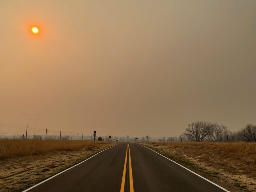
Smoke from the Hermits Peak-Calf Canyon Fire blots out the sun over State Road 161, north of Las Vegas, N.M, on April 23, 2022. (Photo by Patrick Lohmann / Source NM)
Northern New Mexico residents within a roughly 2,200-square-mile area don’t need much — a signed declaration form — to get compensation for smoke and ash damage from the state’s biggest wildfire, according to a Source New Mexico analysis of a photograph of a map used by the federal claims office but not released to the public.
The Federal Emergency Management Agency claims office has paid out $1.23 billion of nearly $4 billion awarded by Congress to those who suffered losses in the Hermits Peak-Calf Canyon Fire in April 2022, a result of botched federal prescribed burns.
Of the money paid out, the office has paid a big chunk of it — about 35% — for damages from smoke and ash that enveloped much of northern New Mexico that summer, according to figures provided by the Hermits Peak-Calf Canyon Fire Claims Office on Friday. The office has paid out $393.8 million in smoke and ash damage claims to 4,168 claimants, according to a spokesperson Deborah Martinez, which works out to an average of $94,500 each.
On March 14, the office announced it had established a standard process to compensate people dealing with smoke and ash damage and discoloration, using a formula that pays a set amount per square footage of a smoke-damaged home or building. The standardized formula enabled the office to make payments more quickly, the claims office has said, amid criticism from elected officials and fire victims about the slow pace of payments.
But the office, which is overseen by the Federal Emergency Management Agency, has not detailed much about its process for establishing who is eligible or how much has been paid out in and out of the burn scar. They also haven’t released a map showing where residents are eligible for smoke and ash compensation.
Office spokesperson Danielle Stomberg said the map alone does not determine whether a resident is eligible.
How and why Source New Mexico created a digital smoke map
This digital rendering approximates the smoke map the Hermits Peak-Calf Canyon Claims Office is using. It’s based on a photo of the map leaked to Source New Mexico. Another source within the claims office, who preferred to remain anonymous to avoid being fired, verified the original map’s authenticity and regular use. The version Source NM reproduced may be slightly different than the one the office uses when it evaluates claims for compensation.
The Claims Office has relied on the map in the photograph for up to nearly $400 million in smoke payments so far, with potentially hundreds of millions more in such payments on the way. Source New Mexico digitized and published the map to allow the public, including those affected by the state’s biggest-ever wildfire, to have the same information as those who are approving or denying their claims, and to shed light on the office’s decision-making process.
Despite using the map as a tool for determining the burden of proof for smoke payments, the claims office has refused to release a higher quality image or a digital version of the map. A spokesperson said doing so could “create confusion” and that the version Source NM reproduced “may be inaccurate.”
To digitize and analyze the map, we used Img2Geojson and Google Earth to overlay the image onto a basemap, then manually traced the perimeter of both the blue oval and the orange crosshatched area. From there, we used Mapshaper, Google Earth and Google Maps to calculate the square miles within the areas that are subject to different eligibility requirements, how many structures were within those areas, and how far those areas are from landmarks, including the burn scar and nearby towns.
Claims office officials decline to provide map, or detail how they came up with it
To determine who is eligible for smoke and ash payments, officials with the Hermits Peak-Calf Canyon Fire claims office are internally relying, at least in part, on a simple map with two big shapes overlaid on top of the burn scar perimeter. Stomberg confirmed both the existence of the map and the different proof requirements within the lines that wind through it.
One of the shapes is a blue oval that encircles the burn scar. It provides a buffer around the fire perimeter of about 13 to 15 miles, according to Source NM’s analysis. Another area fills the easternmost two-thirds of the map with an orange crosshatch, the westernmost edge of which runs roughly through Vadito and Pecos, according to the analysis.
Residents with properties inside both the blue oval and the orange crosshatched area, which Source NM calculated to be about 2,200 square miles, need only to provide a signed declaration form to be eligible for compensation, according to Stomberg. Those forms require signatories to affirm they are telling the truth under threat of perjury charges.
There appear to be more than 21,000 structures within the area the claims office has designated as needing only a signed declaration, according to the Source NM analysis. That includes homes, outbuildings, businesses, government buildings and any other structures captured in satellite data from the year 2020.
Those inside the blue oval but outside the orange crosshatch could still be eligible but are required to provide additional proof of smoke or ash damage, Stomberg said, including photos, a site inspection or invoices for professional cleaning.
Stomberg said the office uses the map to reduce the administrative burden on claimants who were most affected by the fire and most likely to have suffered smoke and ash losses.
The office has refused to release the smoke map to avoid causing “confusion about compensation,” Stomberg said. The office also declined to provide a more detailed version of the map or a digital version to Source New Mexico, saying that doing so would “create confusion and fuel misinformation about the tool itself.”
‘Magic circles’
Lawyers with firms representing thousands of victims said they asked the office for the smoke map several times but never received it, and some survivors have commented on the office’s Facebook page for months, unsuccessfully seeking a more detailed breakdown of smoke damage payments.
“FEMA has these magic circles where we don’t have to provide that information,” said Brian Colón, a lawyer with law firm Singleton Schreiber, regarding the proof required for smoke claims. “They haven’t told us where those magic circles lie.”
Meanwhile, some survivors say resentment is growing between neighbors in and around the 534-square-mile burn scar. They say the office is putting too much focus on quick payments for what is often cosmetic damage outside the burn scar while those who lost their homes are still awaiting compensation.
Office spokesperson Deborah Martinez said in May that the office had received 149 completed claims for homes that were totally destroyed in the fire or ensuing floods. Of them, the office had paid $31.8 million to 116 individuals or families, she said. The office could not provide updated figures by Monday.
In response to the perception and concern that some neighbors who had smoke damage are now flush with cash while others continue to struggle after their homes burned down, Stomberg said that the office is “legally required to compensate for losses as a result of the fire.”
Where exactly the smoke damage money has gone is unclear. Source New Mexico asked the claims office how much had been paid inside and outside the burn scar, how much had been paid within each zone where eligibility requirements differ, and for a breakdown of how much was paid by county.
The office did not provide that information. Stomberg said the office doesn’t track that level of detail, in some cases, or that it would be difficult for office staff to isolate those figures.
Much more money could still be paid for smoke damage: The office received at least 7,680 claims that included smoke damage, Stomberg said. According to the latest figures, 4,168 of those were paid.
This is a photo of the smoke map officials with the Hermits Peak-Calf Canyon Claims Office use for smoke and ash compensation, provided by a source with access to the map. Those within the area inside the crosshatch and the blue oval need less proof to be eligible. (Photo obtained by Source New Mexico)
The office’s external affairs department, which is awaiting the arrival of a permanent director, also declined to specify how the claims office staff determined where the lines went on the map. Stomberg would say only that the claims office leaders consulted with “wildfire experts” and based boundaries on the “best possible information.”
A document checklist the office has previously circulated said staff “estimated the area that experienced the greatest smoke impacts,” but does not describe how.
The smoke map that officials created permits residents in areas as far north as Angel Fire and far south as Pueblo, New Mexico, to have the lowest barrier to compensation, according to Source New Mexico’s analysis. Residents just outside of Watrous and those in Ocate are also within that designated area, according to the analysis.
NM fire survivors raise concerns about smoke damage payments
The analysis also shows that the blue oval area comes within 3 miles of the Santa Fe city limits, though residents in that area would face a higher burden of proof if they sought compensation, according to the office.
The office’s external affairs team said it could not provide information about whether residents in the city of Santa Fe or Santa Fe County received smoke and ash damage payments, saying it was difficult to extract that data.
It also could not say how many payments were made to residents outside the burn scar, and how many payments were made to residents inside each of the zones FEMA established with different burdens of proof for compensation.
The claims office noted that it does release overall payment figures every week, including for San Miguel and Mora Counties, which were the most impacted by the disaster. Those weekly releases do not include how much has been paid for smoke and ash damage, and they do not include how much has been paid to other counties.
Property owners can qualify for smoke damage compensation for restoration of both structures and what’s inside them. Renters can only be paid for damage to furniture and other belongings. Residences, places of worship, commercial structures and detached structures qualify, according to the office, along with other buildings.
Recipients get a standard payment based on square footage, according to the claims office.
Colón said the office needs to be far more transparent about its process if it wants to maintain trust among the communities it is trying to compensate and staunch the rise of resentment between neighbors.
“This is a governmental entity that is supposed to be distributing claims, and they should be defensible in their positions, and the only way they can do that is to have transparency,” he said. “If they have tools they’re using, they ought to make those tools available for the public.
“They should not be in the business of hiding the ball,” he said. “This is another example of FEMA hiding the ball.”