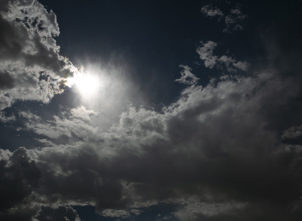
The sun peeks through clouds building up. Storms across the state Wednesday and Thursday pose flooding threats, especially in areas hit by wildfire. (Danielle Prokop / Source NM).
New Mexicans in the northern and southern parts of the state scorched by recent wildfires remain at risk for potentially intense flash flooding from storms Wednesday and Thursday.
Numerous showers and thunderstorms are expected across much of the state beginning at noon Wednesday that could cause harm for people living in the burn scars of the 2022 Hermits Peak-Calf Canyon fire and the South Fork and Salt fires still burning in Lincoln County.
Weather officials are also concerned about degraded soils, downed trees and still saturated land after storms last week for areas around both Ruidoso and Las Vegas.
Flooding over the weekend prompted evacuations from Las Vegas and caused water contamination in the town of more than 13,000 people. In Ruidoso, multiple people needed swift-water rescues after flash flooding there last week.
Storms are expected on Wednesday and Thursday, potentially creating unsafe flooding conditions in both southern and northern New Mexico areas hit by fires. (Courtesy of the National Weather Service Office in Albuquerque)
The storms are expected to start again around noon on Wednesday, and continue into Thursday, said Joshua Schroeder, the science and operations officer at the National Weather Service Albuquerque office.
“When the storms pop up, they’re just going to kind of sit there until they either drift a little bit or kind of rain themselves out,” Schroeder said. “That’s a potentially dangerous situation.”
The storms could drop as much as 2 inches of rain per hour, according to the forecat. Storms may intensify Thursday, into potentially severe thunderstorms with some chances for hail around Las Vegas.
Burn scars are uniquely vulnerable to flash flooding, which can create dangerous debris flows that contain loose soils and downed trees.
“The soils where the burns have occurred, especially the recent ones, they don’t absorb water,” Schroeder said. “It’s almost like glass and water just runs right off of it to the nearest canyon or culvert or arroyo.”
The U.S. Geological Survey, which helps monitor stream gages across the country, is deploying a team to show what flood conditions look like in streams near the South Fork and Salt fires burn scars.
Instead of posting levels every hour, the team will allow four gages around Ruidoso to transmit data every 15 minutes.
Faster monitoring can mean more warning for issuing potential evacuations or other emergency measures, said Andrew Mangham, senior service hydrologist at the National Weather Service.
“When things are calm, it is fine for them to transmit once an hour. When things get like this, where we really need to rely on those gages almost as an alert network, then we need faster transmission,” Mangham said. “The USGS is getting out there and getting into potentially dangerous area to go ahead and change that transmission time, for us to stay aware.”
Get the latest:
Weather alerts can be found on www.weather.gov/abq and on the National Oceanic and Atmospheric Administration All Hazards Weather Radio stations.
Regional stations include Albuquerque at FM 162.4, call sign WXJ-34. For Ruidoso and Santa Fe, the station is FM 162.5, call sign WXJ-33.
Floodwaters move deceptively fast. It only takes 1 foot of floodwater to move a car, and 6 inches to knock a person down. Do not drive across flooded areas.
The post Rainstorms over NM pose flood threats again in wildfire burn scars appeared first on Source New Mexico.

