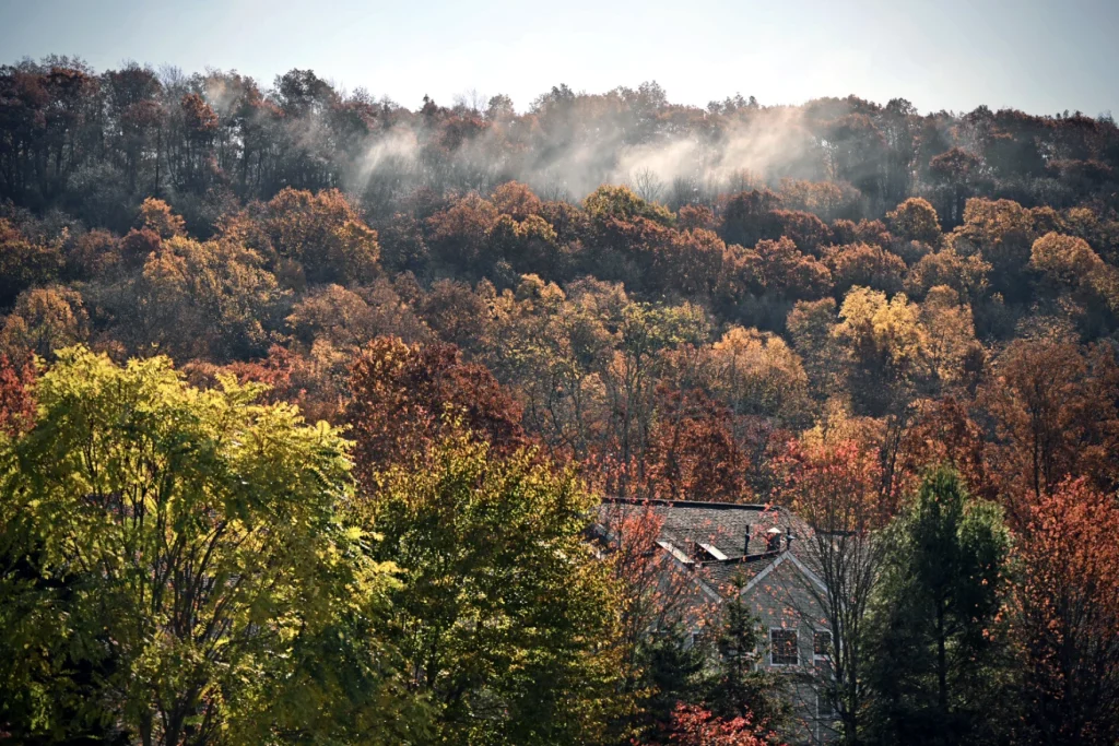
Connecticut has faced some 70 wildfires since Oct. 21. One firefighter has died and others have been injured. The fire magnitudes have varied. The Hawthorne fire in Berlin is the biggest to date — 127 acres as of Wednesday afternoon.
Their causes vary too, but the underlying conditions for each are the same: abnormally dry conditions that has left a landscape primed to burn.
It turns out Connecticut is not the only state that has faced an exceedingly dry October. And it isn’t experiencing the worst of it.
Data through Oct. 29, released Thursday, show that except for a thin northern strip and small area in the southern tip of Fairfield County, Connecticut was ranked as “abnormally dry,” so not quite in a drought, by the U.S. Drought Monitor, a joint operation of the National Drought Mitigation Center at the University of Nebraska-Lincoln, the National Oceanic and Atmospheric Administration (NOAA) and the U.S. Department of Agriculture. The two northern and southern areas are in moderate drought — the lowest drought level.
That is a little worse than last week when a portion of central Connecticut still had no designation and only a tiny corner was designated as moderate drought.
NOAA’s preliminary estimate based on the new data is that 87.16% of the continental U.S. is now abnormally dry or worse. That would be a record.

National data provided by NOAA from the Southeast Regional Climate Center show there was a small amount of rain in October at the various reporting sites around the state. That is a clear contrast to the big zeros it shows from New York to Philadelphia and across the south central U.S.
A ranking map shows that only Connecticut’s Stamford/Bridgeport reporting station has recorded its lowest October precipitation on record — which goes back 77 years. On this interactive map, a monthly record is indicated by the number 1. The other reporting stations, some with longer and some with shorter reporting histories, rank their areas from second to sixth driest Octobers.
But in the New York City to Philadelphia corridor and across the south there are a lot of number ones for October.
That’s splitting hairs, to some degree — it IS dry here and in many locations. The bigger question may be, what’s causing the lack of rain?
According to Allison Santorelli, acting warning coordination meteorologist for NOAA’s Weather Prediction Center, there has been a “stark pattern shift” since mid-September that has resulted in a stubborn and strong high pressure — an upper level ridge parked across much of the eastern half of the country.
“That’s what’s led to the anomalously dry weather in many locations from the central U.S. into the eastern U.S.,” she said. “And that has generally blocked any moisture from coming north from the Gulf of Mexico.”
Santorelli said there looks to be a bit of a break coming for the central region in the next week. “But at least in the Eastern U.S., it looks like we’re going to be kind of stuck, for lack of a better term, underneath this blocky upper ridge for now.”
October does tend to be a pretty dry month for this area, but not this dry and it’s generally not the driest time of the year.
“The fire weather season, if you want to call it that, in the tri-state area, is basically April,” said Erica Grow Cei, a meteorologist and spokesperson for NOAA. “You’ve got all those dry leaves on the ground from last year, and the sun is starting to come up, and it’s still dry, and you get a little breeze. Someone flicks their cigarette out the window, and next thing you know, you’ve got a little fire.”
Which begs the big question — is the unusual dryness right now related to climate change? That’s unknown.
Will we ever know? Also unknown.
Grow Cei explained that systems like the one that is stuck now get stuck because the warm and especially dry air in it is very dense, which just makes it harder to budge. There’s also less of a moisture source coming from below because the leaves on the trees this time of year have stopped undergoing photosynthesis, which would release moisture through the leaves.
“It just helps to keep things stuck,” she said.
The high winds the area has experienced lately will dry things out even faster.
Logic would tell you a state like Connecticut with an extensive shoreline should provide more moisture. But Grow Cei said this time of year there is less evaporation.
“Our sun angle right now is similar to what it is on Valentine’s Day,” she said.

To get things moving again, something big like a brewing tropical storm would need to occur — not that anyone is wishing for that with another month to go in the official hurricane season. “There could be some other large enough scale disturbance that rides through the jet that disrupts the pattern,” she said.
But that hasn’t happened here yet and NOAA’s Climate Prediction Center doesn’t show much precipitation showing up into mid-November.
For now, the predictions for winter are not too out-of-the-ordinary for New England. Temperatures are likely to be a little above normal. And precipitation? Normal.

